FREE NEXT WORKING DAY DELIVERY FOR ORDERS OVER £50 (UK ONLY EXCLUDES HIGHLANDS & ISLANDS).
SAME DAY DISPATCH *ORDER BEFORE 12 NOON
EASY HASSLE-FREE RETURNS
☎ Customer care:+0141 889 3360
Walking The West Highland Way Map Booklet
Footprint Map West Highland Way
Ordnance Survey Explorer Map 339 Kelso, Coldstream & Lower Tweed Valley
Ordnance Survey Explorer Map 372 Coll & Tiree
Ordnance Survey Explorer Map 376 Oban & North Lorn
Ordnance Survey Explorer Map 379 Dunkeld, Aberfeldy & Glen Almond
Ordnance Survey Explorer Map 380 Dundee & Sidlaw Hills
Ordnance Survey Explorer Map 385 Rannoch Moor & Ben Alder
Ordnance Survey Explorer Map 397 Rùm, Eigg, Muck, Canna & Sanday
Ordnance Survey Explorer Map 410 Skye
Ordnance Survey Explorer Map 414 Glen Shiel & Kintail Forest
Ordnance Survey Explorer Map 423 Elgin, Forres & Lossiemouth
Ordnance Survay Landranger Map 52 Pitlochry & Crieff
Ordnance Survey Landranger Map 72 Upper Clyde Valley
Ordnance Survey Explorer Map 322 Annandale
Ordnance Survey Explorer Map 467 Sheltand - Mainland Central
Ordnance Survey Explorer Map 334 East Kilbride, Galston & Darvel
Ordnance Survey Explorer Map 338 Galashiels, Selkirk & Melrose
Ordnance Survey Explorer Map 349 Falkirk, Cumbernauld & Livingston
Ordnance Survey Explorer Map 377 Loch Etive & Glen Orchy
Ordnance Survey Explorer Map 408 Skye - Trotternish & The Storr
Ordnance Survey Landranger Map 64 Glasgow
Ordnance Survey Explorer 314 Map Solway Firth
Ordnance Survey Explorer 315 Map Carlisle
Ordnance Survey Explorer 317 Map of Ballantrae, Barr & Barrhill
Ordnance Survey Explorer Map 310 Glenluce & Kirkcowan
Ordnance Survey Explorer Map 345 Lammermuir Hills
Ordnance Survey Explorer Map 390 Ardnamurchan
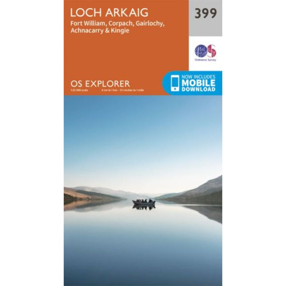
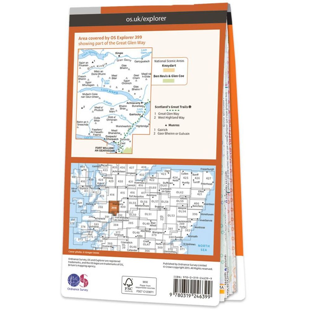
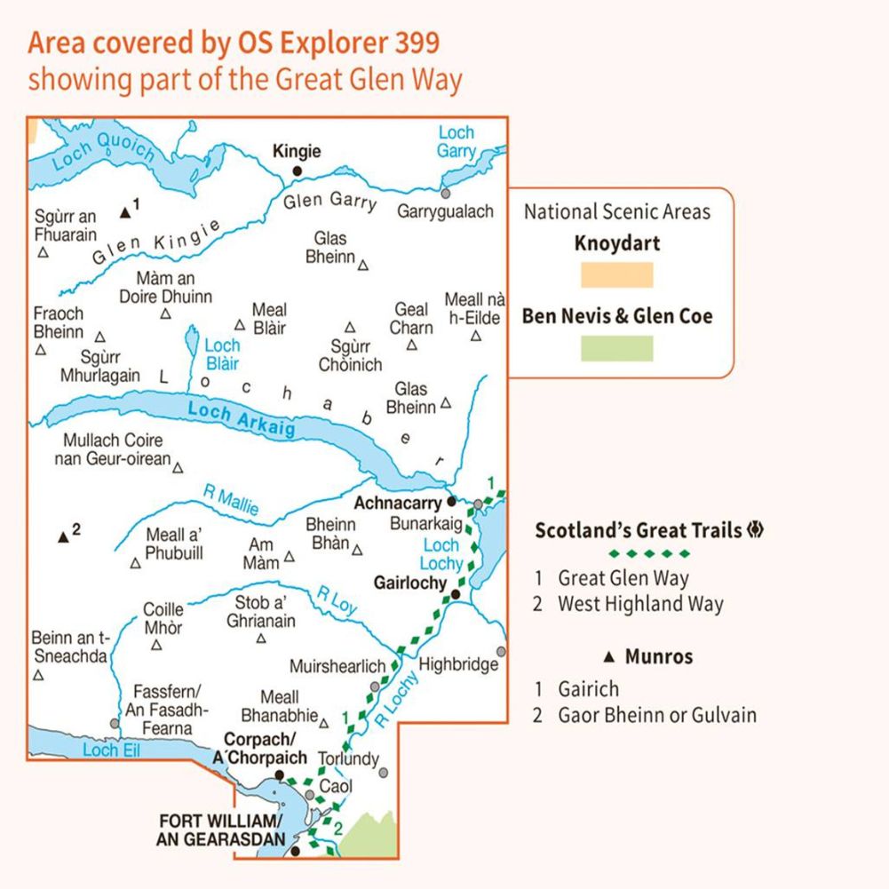
Ordnance Survey Explorer Map 399 Loch Arkaig
Ordnance Survey Explorer Map 438 Dornoch & Tain
Ordnance Survey Explorer Map 459 Central Lewis & Stornoway
Ordnance Survey Landranger Map 25 Glen Carron & Glen Affric
Ordnance Survey Landranger Map 32 South Skye & Cuillin Hills
Ordnance Survey Landranger Map 35 Kingussie & Monadhliath Mountains
Ordnance Survey Landranger Map 42 Glen Garry & Loch Rannoch
Ordnance Survey Landranger 43 Braemar & Blair Atholl